Contents
56: How we utilise millions of location signals to provide proactive security
Re-imagining Security and Safety
Introduction
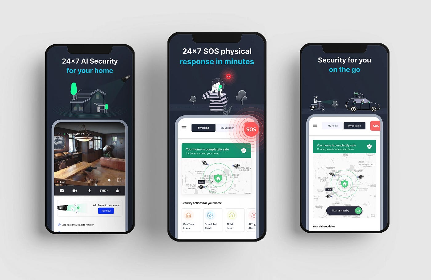
At 56, we leverage an interconnected real-time network of guards and AI smart cameras to deliver an efficient safety experience to our users. We’re doing this primarily by developing location services, algorithms and AI cameras running deep learning models on edge. 56 combines pro-active safety agents on the ground running street specific algorithmic routes and video intelligence powered by AI cameras to give its users complete protection. As a result, 56 is a pro-active and adaptable safety network operating 24X7.

SOS
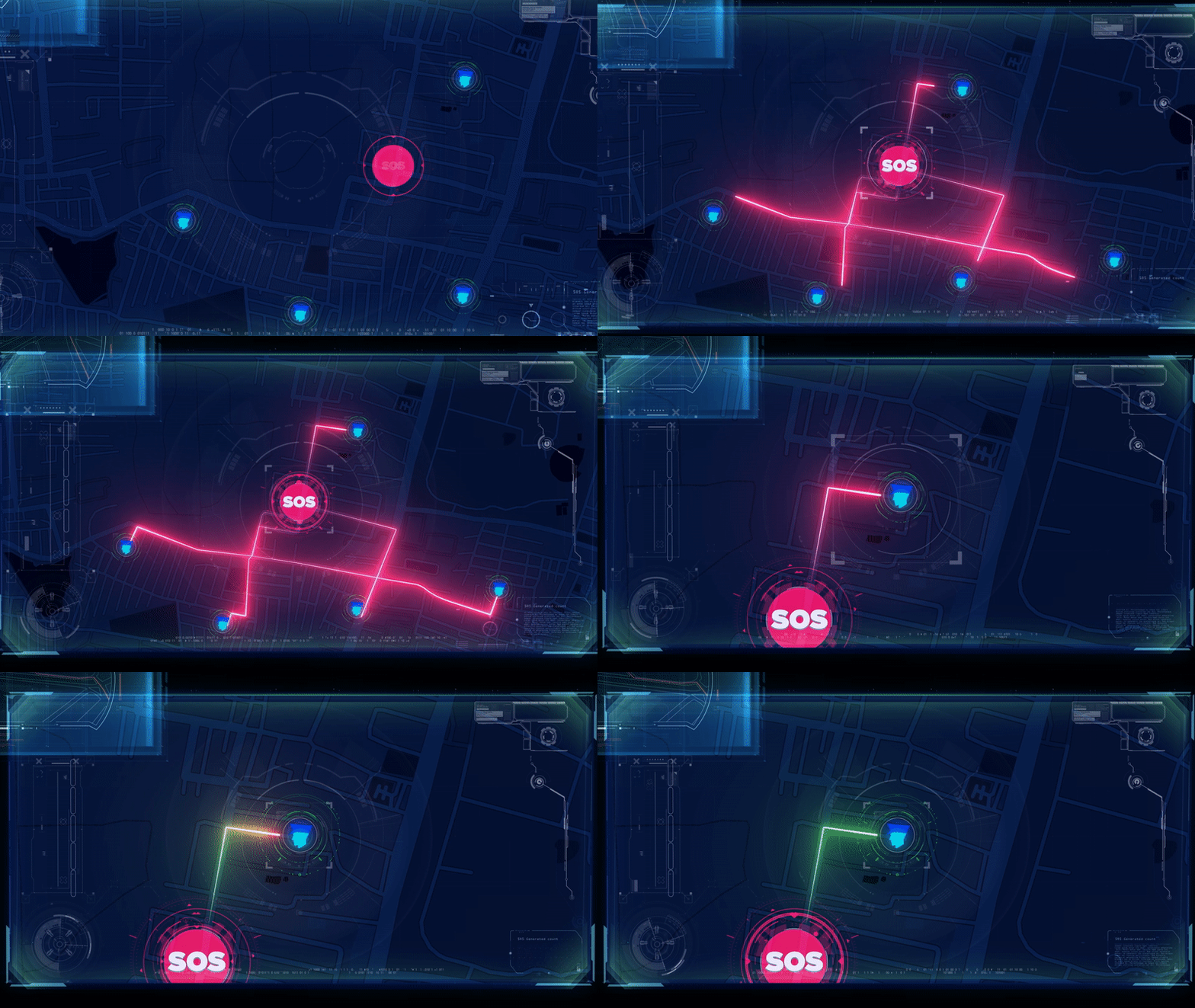
If you have pressed SOS on the 56Secure app, you might know how simple the process is. Just press our SOS button, and based on your location, our nearest safety agent will reach you within minutes for any safety or security assistance. The process is simple, but a lot is happening behind the scenes.
The secret behind SOS is our platform which leverages our safety agent’s location data for insightful and intelligent decision-making. While safety agents are on the move, millions of events move into our system, which ultimately helps our safety agents to locate and reach our users within minutes.
When a user presses the SOS button on our 56Secure application, we immediately connect the nearest safety agent with the customer. Our war-room team closely monitors the situation. The assigned safety agent who are trained to de-escalate, immediately goes to the location and locates the customer needing safety assistance. At the same time, other safety agents are aware and can be called upon as a backup. Any anomaly or spot reported using our application helps us to deploy the guards based on historical incidents and send optimised patrol routes and workflows to the safety agents.

Intelligent Location Service: Cerebro
We process over seven million location signals daily to keep our users safe.
Cerebro ingests every single GPS point of over hundreds of safety agents on the ground and stores historical information, which ultimately helps our data science team to deploy and position guards in an area. The Data-Science team at 56 also performs in-depth geospatial data analysis of road distance and traffic to enhance the customer service experience and assist safety agents on the ground in doing their duty effectively. Every day our platform manages millions of location events.

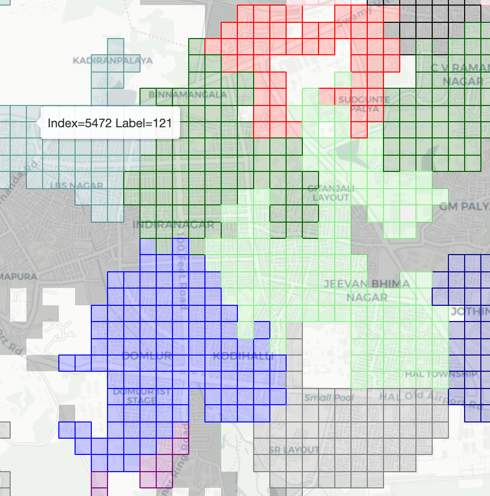
Our pro-priority algorithms use location data and street distance to divide the entire city into a grid of cells and associate information to each cell depending on the density of our users in a locality. This allows a flexible trade-off between precision and efficiency, depending on the tasks, which can be SOS or the scheduling of jobs and services in an area. Metadata associated with each cluster updates at regular intervals, which ultimately helps to assist users and deliver a great customer experience.
Impact
Over the past year, we created an impact by averting numerous incidents in Bangalore in real-time. Check out what our subscribers have to say.
.png)


